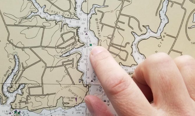
“The draft plan does not offer a timeline for ending the production for NOAA paper charts or Raster Navigational Chart data,” said the NOAA in a statement. “We expect this process may take decades to complete, as user communities continue to adopt electronic navigation and our production system and products continue to improve.”
According to the BoatUS Foundation for Boating Safety and Clean Water, a closer reading of the plan reveals a forward-looking approach that sets a course to enable the Office of Coast Survey’s Marine Chart Division to continue to meet the evolving needs of boaters into the future.
“The National Charting Plan shows that NOAA is looking to evolve its products and use its resources efficiently to meet the changing needs of its users. The way we access data today is different than how we accessed it 10 years ago, and we believe…it will be different 10 years from now,” said BoatUS Foundation Vice President Susan Shingledecker.
Among the proposed changes in the National Charting Plan are more frequent chart updates — weekly, instead of long intervals — and the better integration of data with other agencies such as the Army Corps of Engineers and the Coast Guard, which could mean integrating the latest channel depths and aid to navigation positions.
The plan also allows NOAA to focus attention on under-served waterways, such as resolving chart discrepancies in areas of importance to recreational boaters.


